Global Geoparks
UNESCO Global Geopark sites tell visitors about geological and cultural development on our planet. They are sites shaped by nature with unique rock and soil formations that are of international significance.
Geoparks in Finland
The prestigious UNESCO Global Geopark status is granted to a geologically unique tourism area. Sites in Finland that have been approved for this network of valuable areas are Rokua, Lauhanvuori - Hämeenkangas, Saimaa, Salpausselkä and Impact Crater Lake. Each one of these sites takes you back far into the past while offering beautiful nature experiences.
Rokua Geopark – Traces of the Ice Age
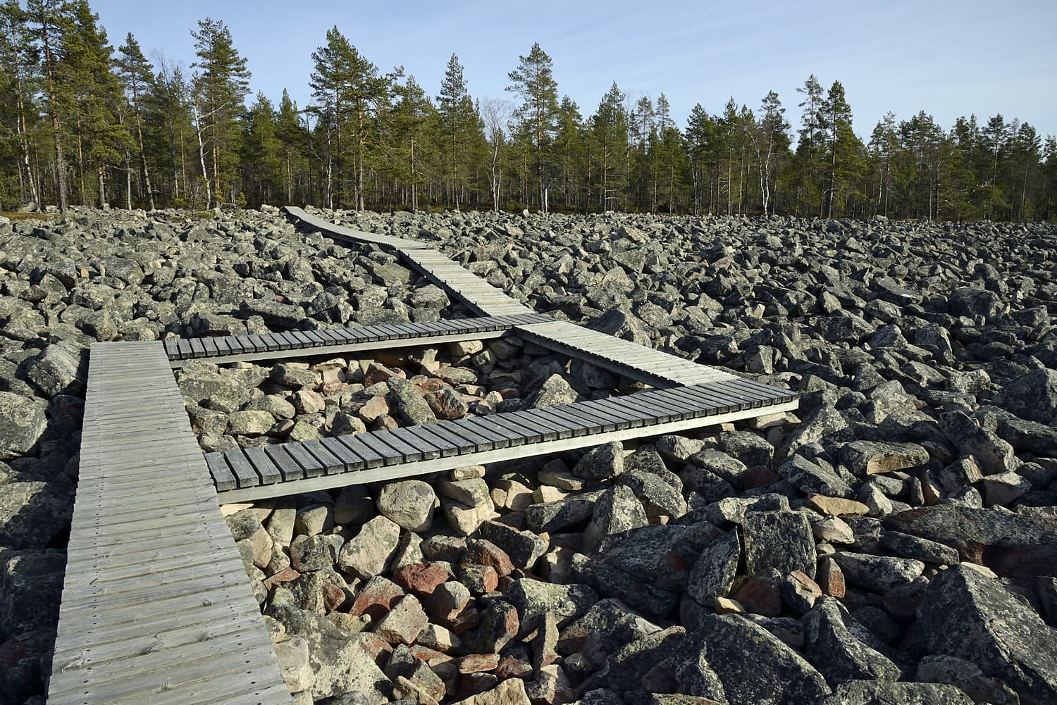
Rokua Geopark, which was Finland’s first UNESCO Global Geopark, is located in North Ostrobothnia in the municipalities of Muhos, Utajärvi and Vaala.
Experience Ice Age heritage while hiking: eskers, kettle holes, lakes with clear waters and fertile river valleys were left behind by the receding glacier. Humans followed the melting ice and retreating seashore. The area bears the marks of human history extending from Stone Age settlements to tar trade, tourism focusing on rapids and modern architecture.
The bedrock structure takes you even further back in time – as far as 2.8 billion years. The gneiss rocks of Rokua are part of the oldest bedrock in the EU.
Lauhanvuori - Hämeenkangas Geopark – An ancient mountain range
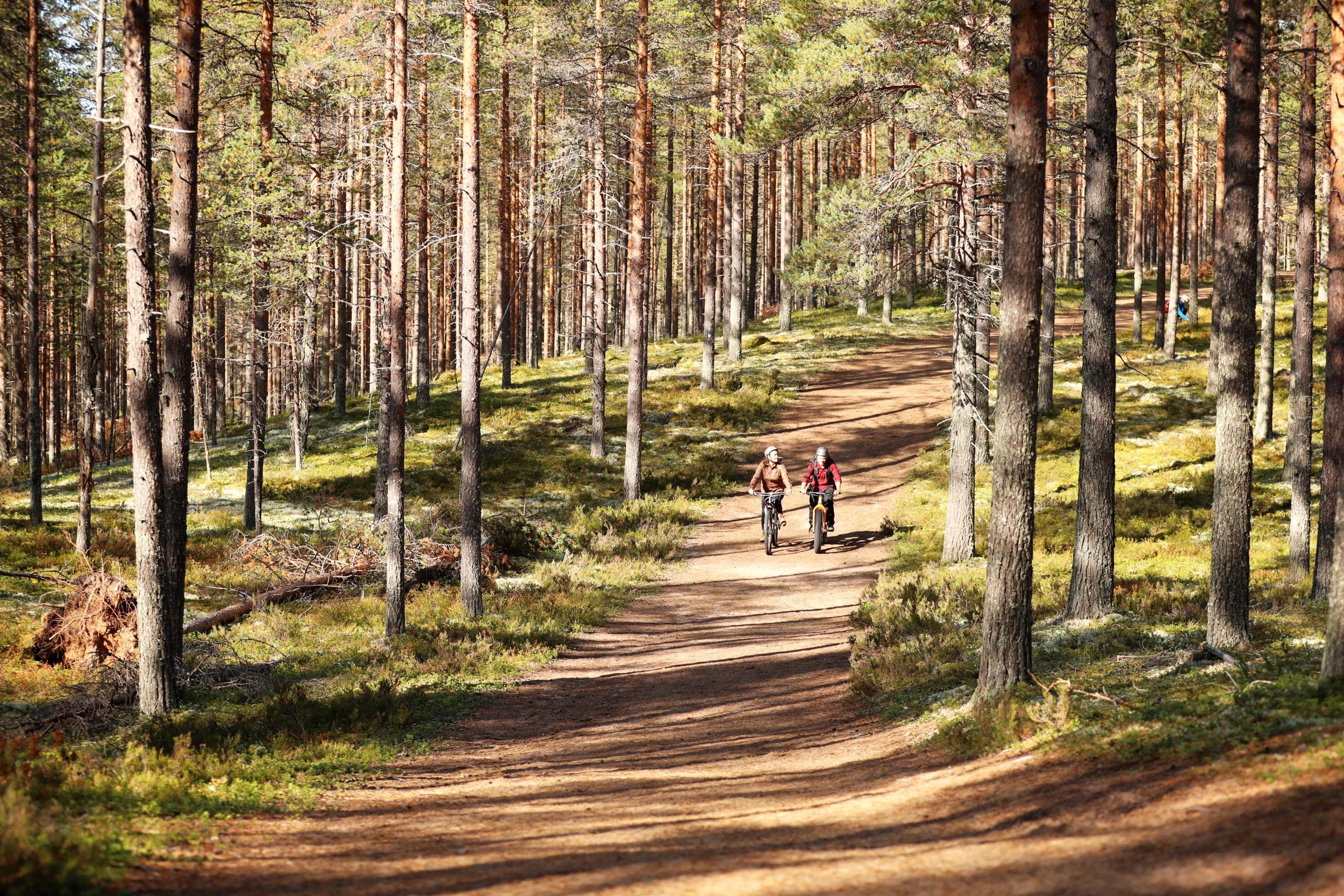
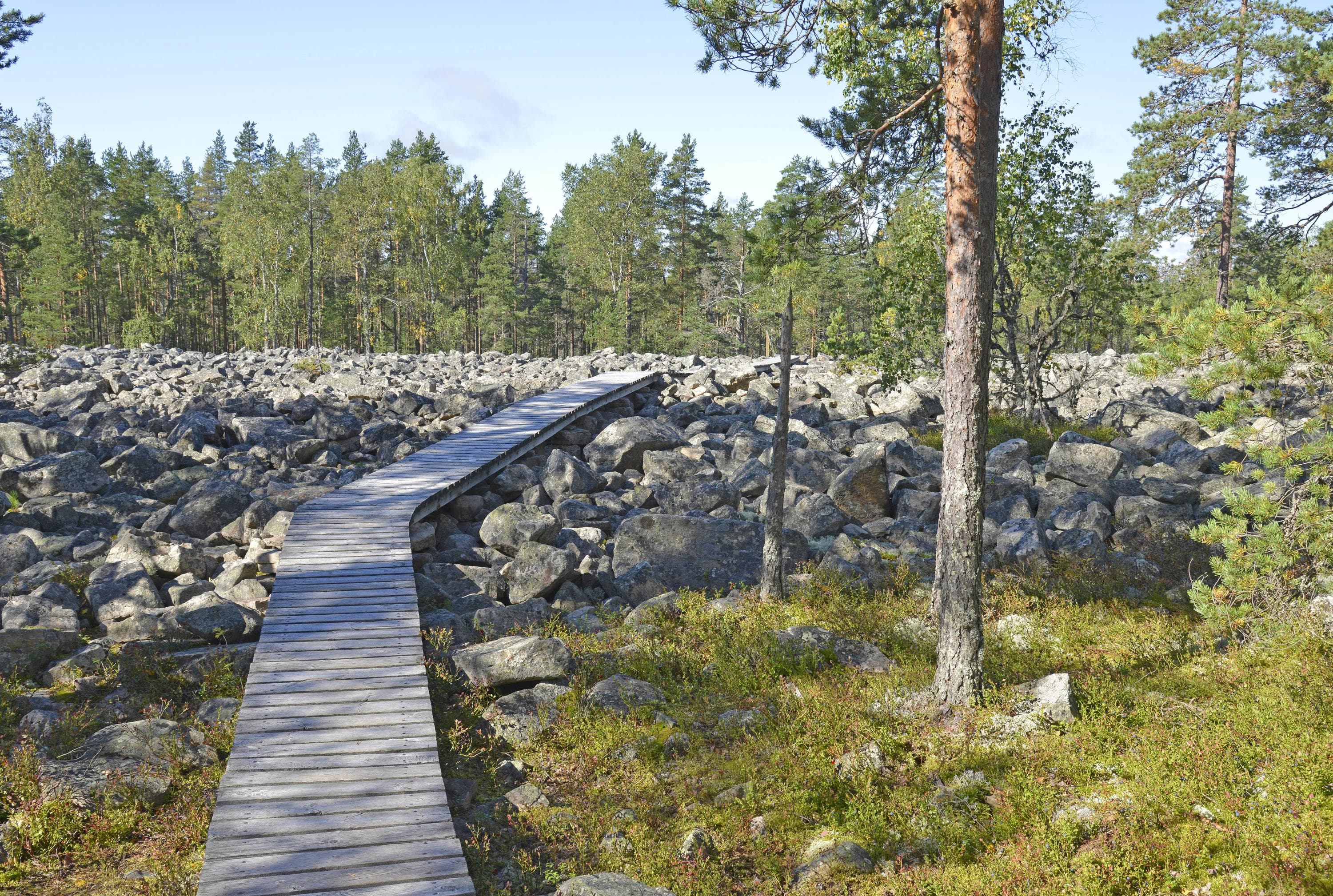
Lauhanvuori - Hämeenkangas Geopark is found in Western Finland on the borders of Satakunta, South Ostrobothnia and Pirkanmaa counties. In more than two billion years, an ancient mountain range has been replaced by a landscape of mires, forests and river valleys. Enjoy the mysterious peatland forests and clear lakes of the area. Here you can explore national parks, eskers and forests and experience rural villages, churches and stone bridges steeped in local history.
Saimaa Geopark – Story of a labyrinthine archipelago
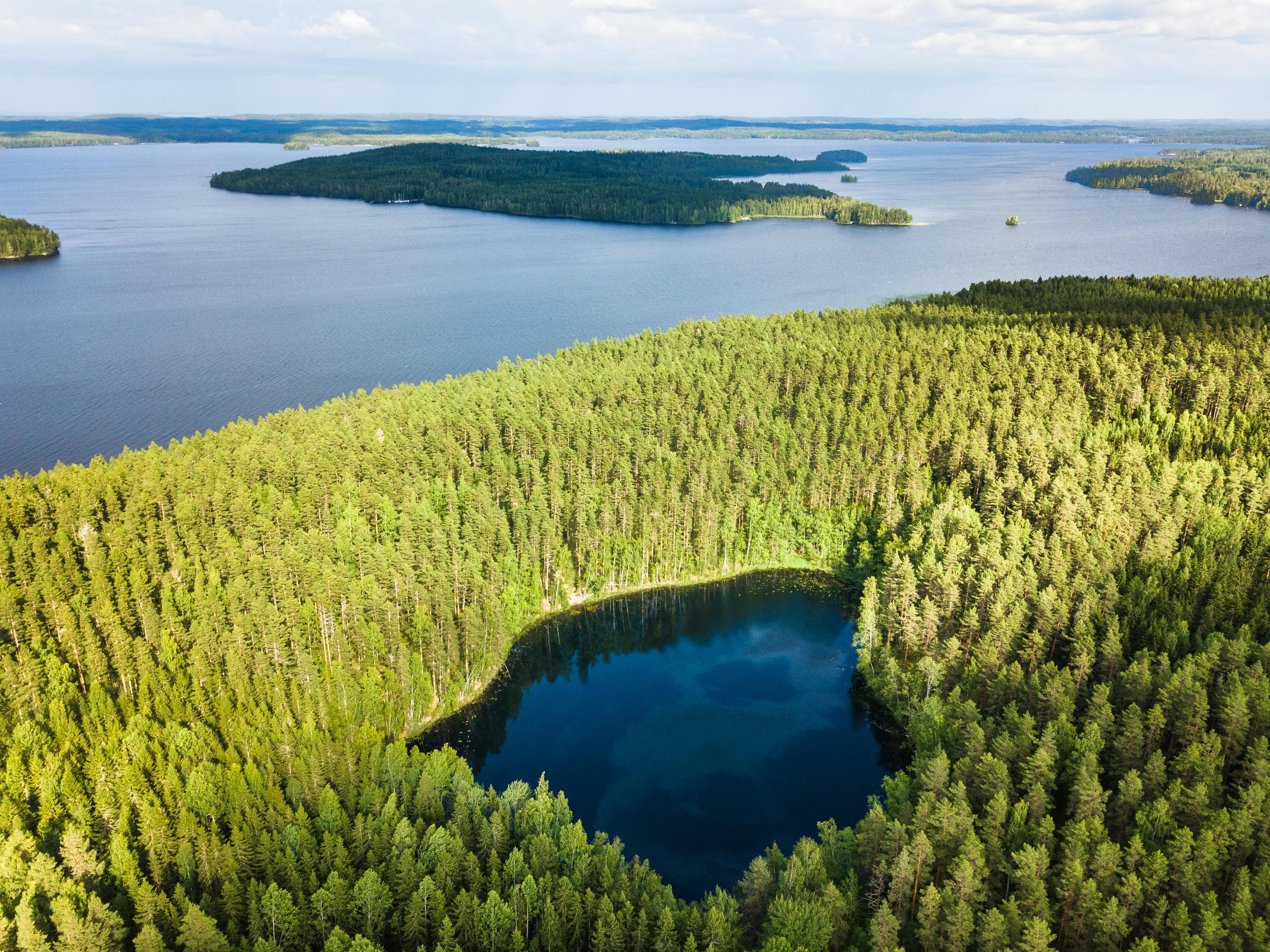
Saimaa Geopark gives visitors insights into how the lake district of southern Saimaa developed, while the ancient shores and rock paintings tell the story of land uplift and prehistoric life. This geologically significant area in South Karelia and South Savo offers labyrinthine waterways, sandy beaches and wide stretches of water. Services are available for both excursions on the water and hiking.
Salpausselkä Geopark – Shaped by glacier rivers
Salpausselkä Geopark is located in six municipalities of Päijät-Häme. It introduces visitors to geologically significant sites and impressive esker landscapes shaped by glacier rivers that are idea for outdoor exercise. The moraine ridges of the First and Second Salpausselkä stretch right across southern Finland and are at their highest and most spectacular in Salpausselkä Geopark area. The Salpausselkä ridges are some of Finland’s best-known geological features internationally.
These ridges and eskers with abundant groundwater resources took shape towards the end of the last Ice Age about 12,000 years ago. The hundreds of lakes in the area, ranging from small kettle ponds to Finland’s second largest lake Päijänne, offer amazing views and great recreational opportunities.
Impact Crater Lake Geopark – Hit by a meteorite
Impact Crater Lake Geopark in Southern Ostrobothnia was created as a meteorite hit Earth 78 million years ago. The collision created a crater with a diameter of 22 kilometres and sides soaring to a height of 750 metres. Today the giant crater is known as Lake Lappajärvi. The landscapes around the lake are part of the ancient collision site.
The rock types created as a result of the collision, such as kärnäite and suevite, can still be found in the area. Kärnäite can be seen in unique exposed bedrock on Kärnäsaari Island in Lake Lappajärvi. Fragile suevite was formed from materials that the explosion threw up in the air from the crater. Suevite contains rare impact diamonds, which are only found in three craters in the world.
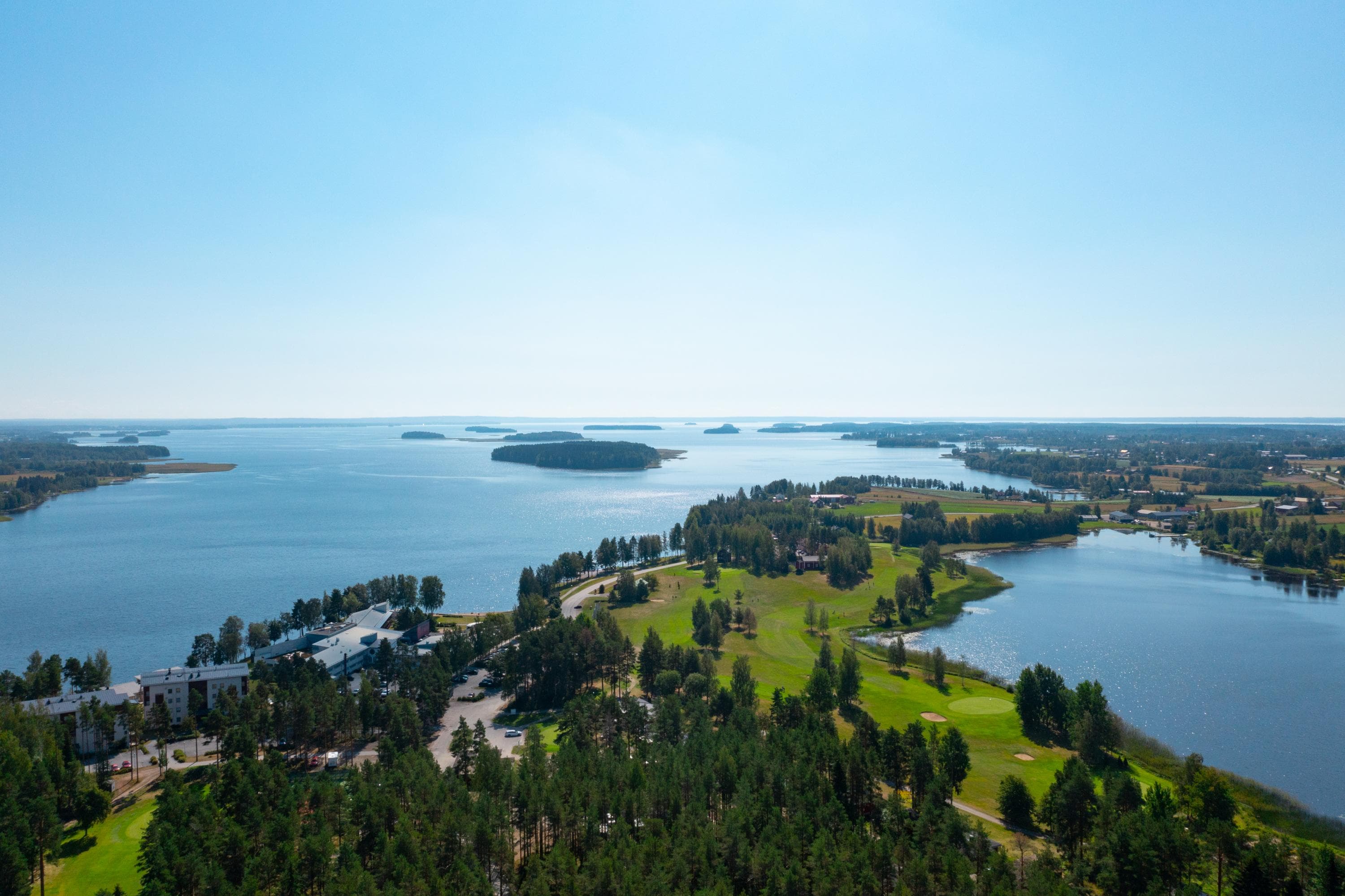
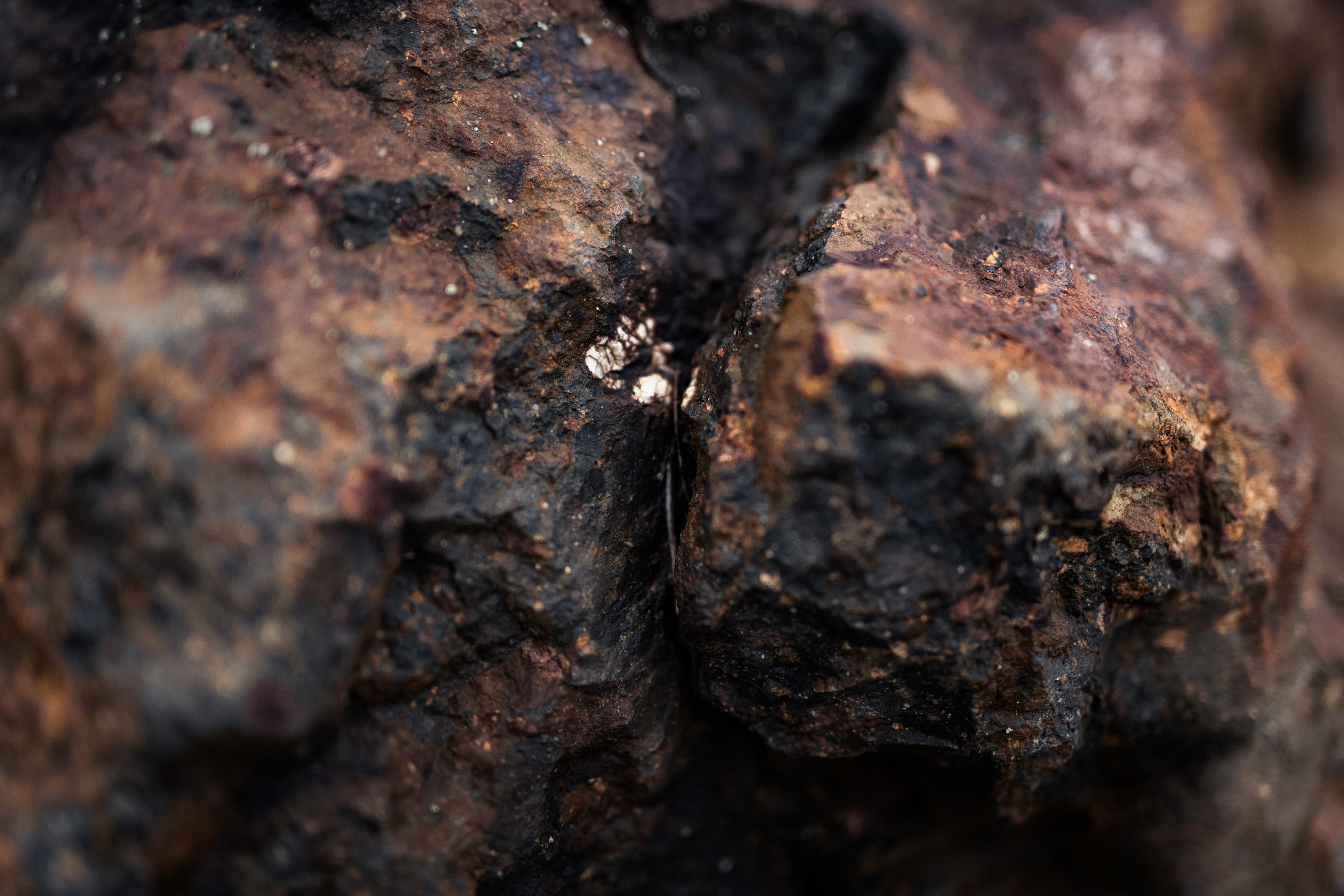
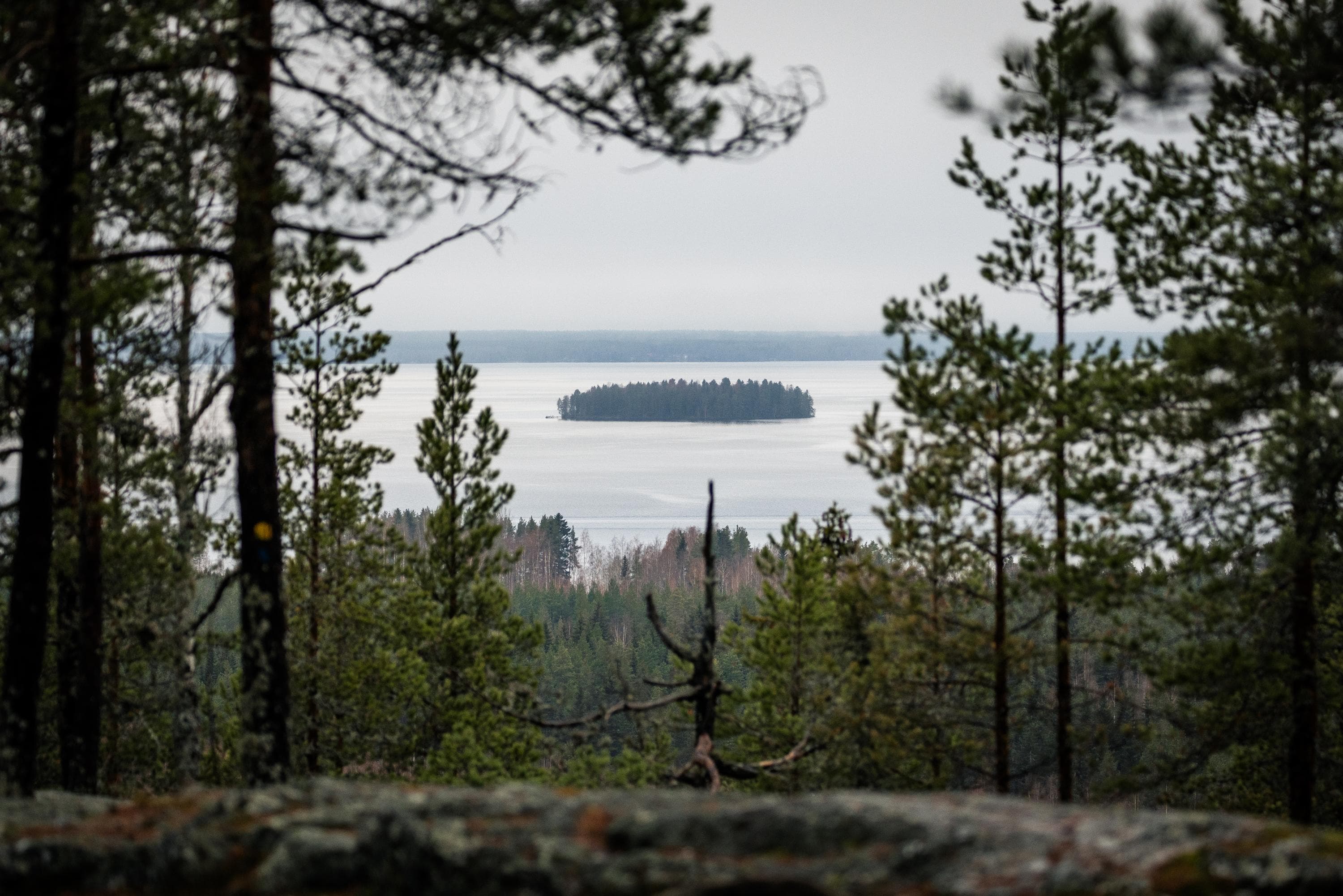
UNESCO Global Geopark sites in Finland introduce visitors to Earth's geological history. They are destinations where you can enjoy the beauty of nature and learn something new about our planet!
