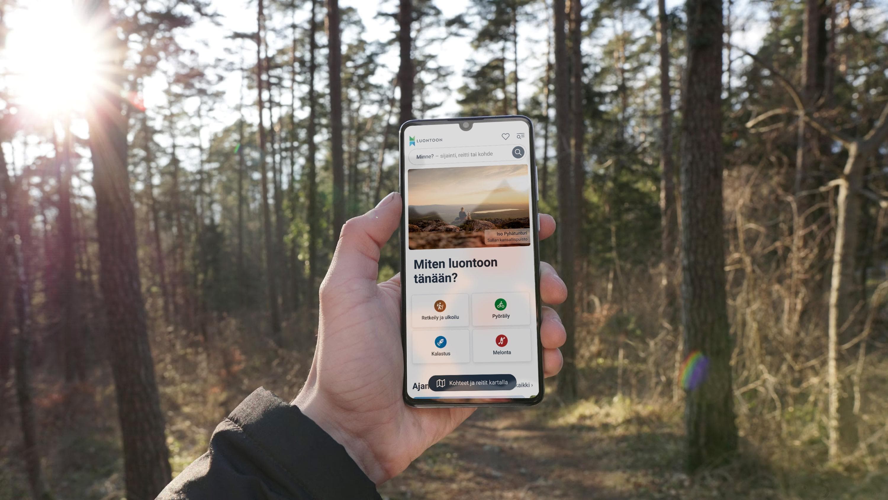
The first version of the Luontoon service, launched at the end of last year, has proven popular. In the early part of this year, the service has already seen around 900,000 visits. We have received a great deal of praise, but also many excellent development suggestions.
The service is being developed using agile methods, meaning we aim to publish improvements as soon as we reasonably can and gather new insights from users for ongoing development. This results in a certain degree of incompleteness in the service, but on the other hand, it is improved 1–2 times a month – every month. So far, we have already released around ten updates!
The praise we have received relates to the service's usability, functionality, and map features. Users are also delighted that municipal destinations can now be found in the service.
Listening to the needs of PDF map users
The most common feedback concerns the missing PDF maps, which were popular for planning national park trips and gaining an overall view. Although the hand-drawn PDF brochure maps are not available in the new Luontoon.fi service, we are working hard to develop digital maps.
Advantages of the digital map:
- A digital map allows hikers to create tailored map views from wherever they need, not just from national parks.
- The digital map integrates maps and textual content in one up-to-date service.
- The digital map supports safe navigation in the terrain by using the location feature.
- The digital map is kept up to date.
As part of the service development, we have conducted surveys and interviews to better understand the needs of PDF map users. Based on the results, the PDF brochures offer two major benefits: clarity and the preference for some users to print a paper copy. Equally many users value the ability to save the map on their phone.
- Brochure maps can even be used for navigating along marked trails and for combining routes into customised hiking plans.
- For clarity, the most important elements are the overall picture: hiking structures, parking areas, and trail paths. Users are also interested in trail markings, distances, attractions, key terrain features, waterways, and restricted areas.
Based on this feedback, we have already made many improvements since December 2024: for example, parking areas and hiking facilities are now more clearly visible on the map. In the coming weeks, the visibility of trails and rest areas will be improved even further.

New functionality coming soon: Terrain map
Many hikers have requested a terrain map to better view the background behind trail information. A terrain map shows features such as contour lines, wetlands, and waterways. It also allows navigation beyond marked trails.
Soon we will introduce a new functionality that enables switching the background map to a terrain map. The terrain map will look slightly different from the familiar “raster maps” seen in many map services. We are building a terrain map optimised for digital devices based on the National Land Survey of Finland’s familiar map data.
Improved usability and new content
Additionally, we have made numerous large and small usability improvements and published hundreds of new pages.
- Hiking destinations can now be searched by municipality. All Finnish wilderness huts are also included in the search.
- The visibility of the map on mobile devices has been improved, and navigation on the site has been made easier, for example, with the help of a breadcrumb trail. The breadcrumb trail shows users their location on the website.
- Metsähallitus destinations, such as wilderness areas and dozens of others, are now available in the service.
- Dozens of municipalities and recreational area associations have provided a massive amount of destination information for the service.
Soon weather and wildfire warnings will also be available in the Luontoon service.

